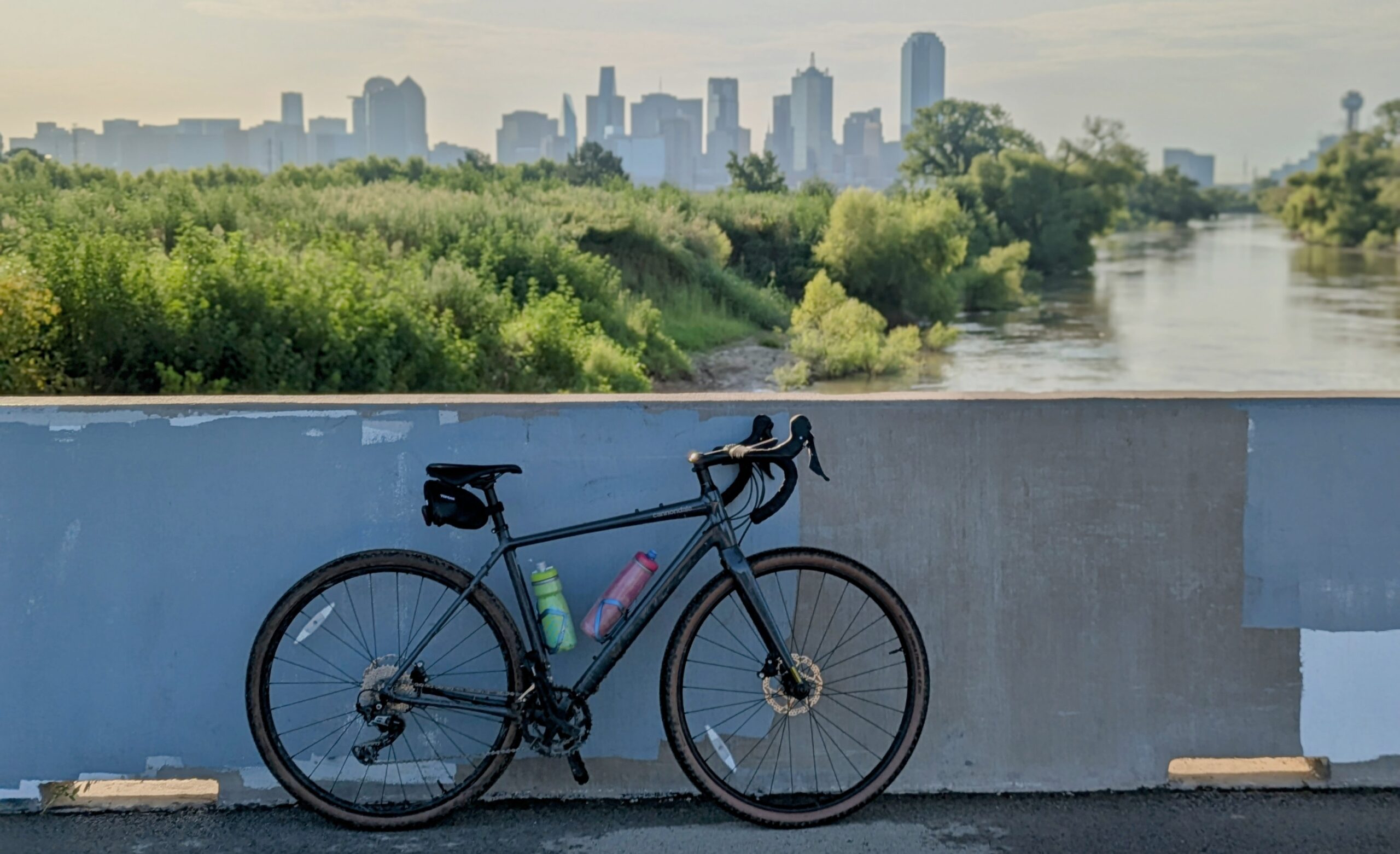
It’s 7 a.m. on a Saturday in Dallas. Songbirds flit in and out of the brush, herons patrol the waterways, and dragonflies skim across the marsh. Out of the corner of my eye, I catch a plane lifting off from Dallas-Love Field and hear the soft hum of a nearby highway. This little slice of nature sits just two miles from downtown — a surprise, even to us.
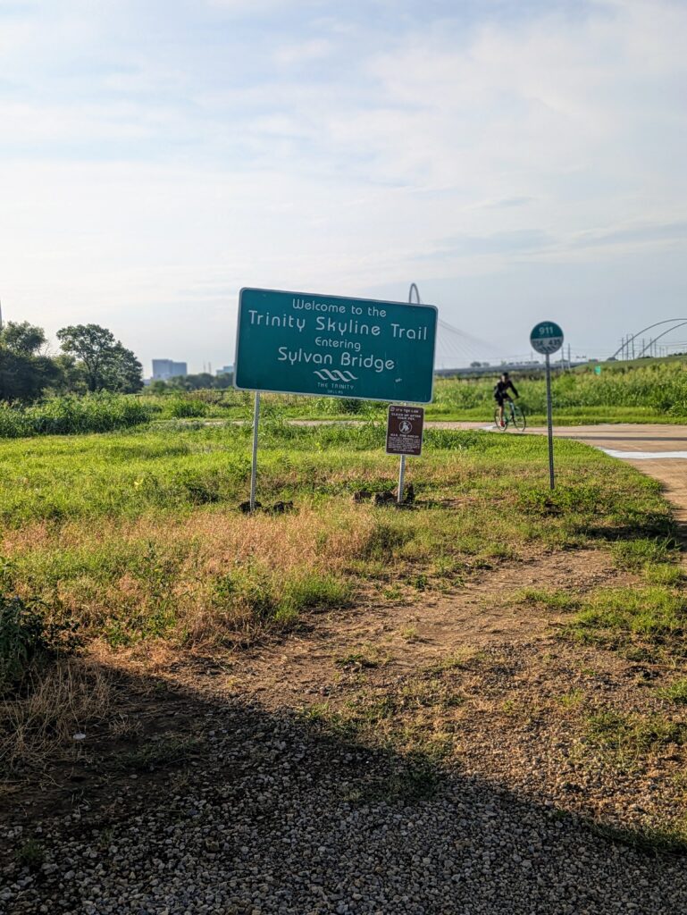
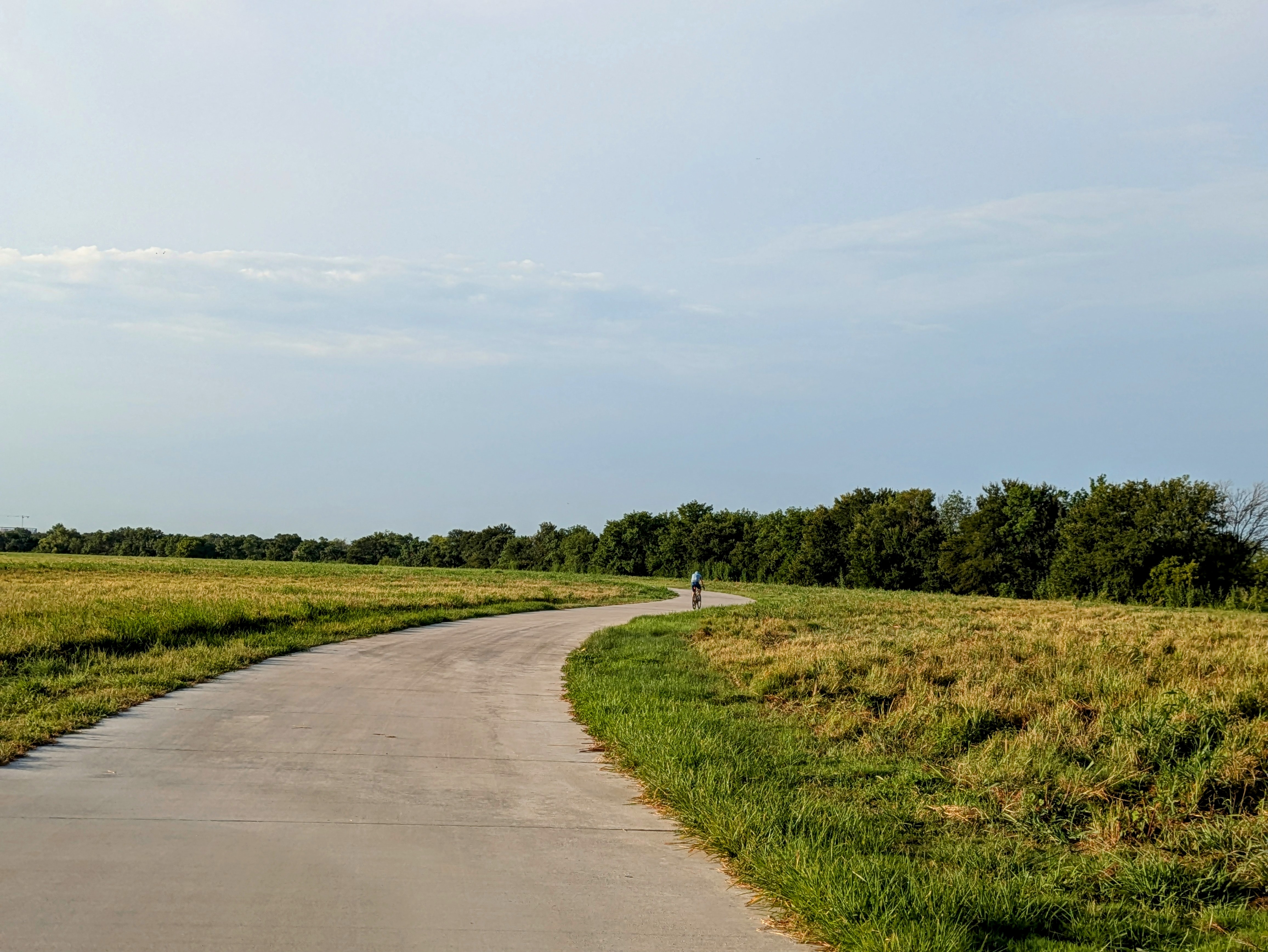
The Trinity Skyline Trail is a 4.6-mile paved, multi-use path that traces the Trinity River. It’s accompanied by the gravel-based Trinity Levee Trail, which stretches even further in both directions. We had every intention of logging 20 gravel miles on our Cannondale Topstones, but some early morning storms had other ideas. Within 200 feet, our tires were caked in mud and gravel — but the paved trail was just ahead, saving the day. Not Plan A, but a perfectly fine Plan B.
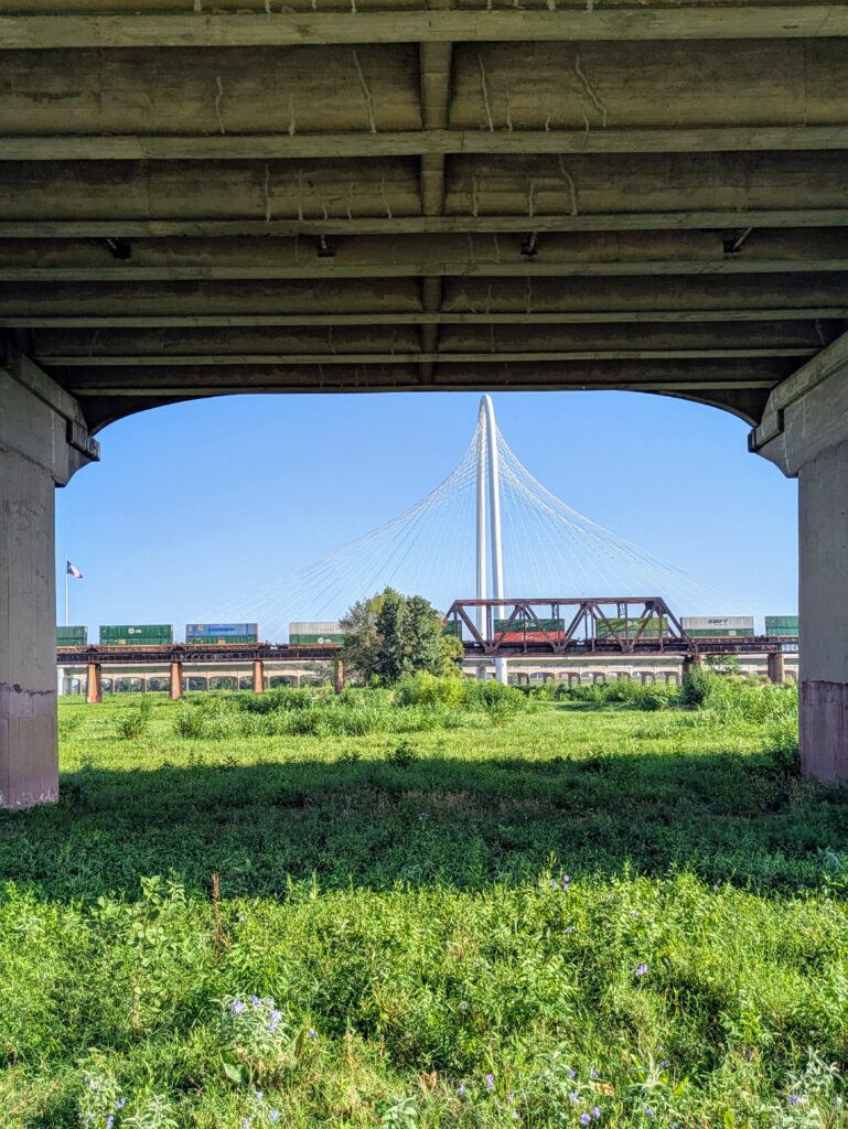
Riding along, you almost forget you’re in the middle of Dallas. This city is famous for its sprawling highways and concrete sprawl — but on this trail, you’re surrounded by birds, reeds, and skyline views that make you do a double take.
We started our ride from Manhattan Project Brewing Company, parking on a side street near the brewery. While it’s home to some of the best beer in Dallas, we were eyeing the brunch menu for our post-ride reward. A+ location.
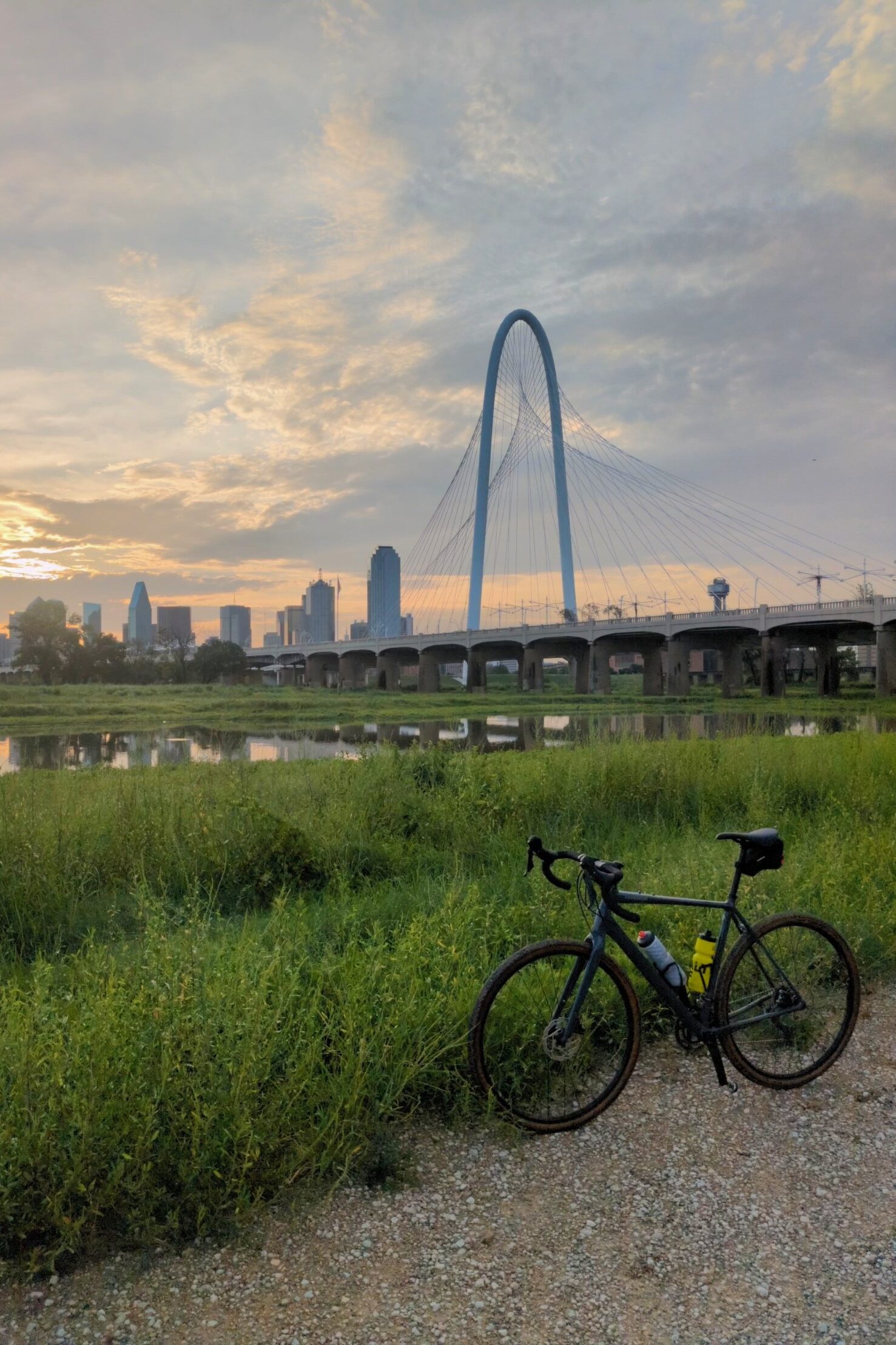
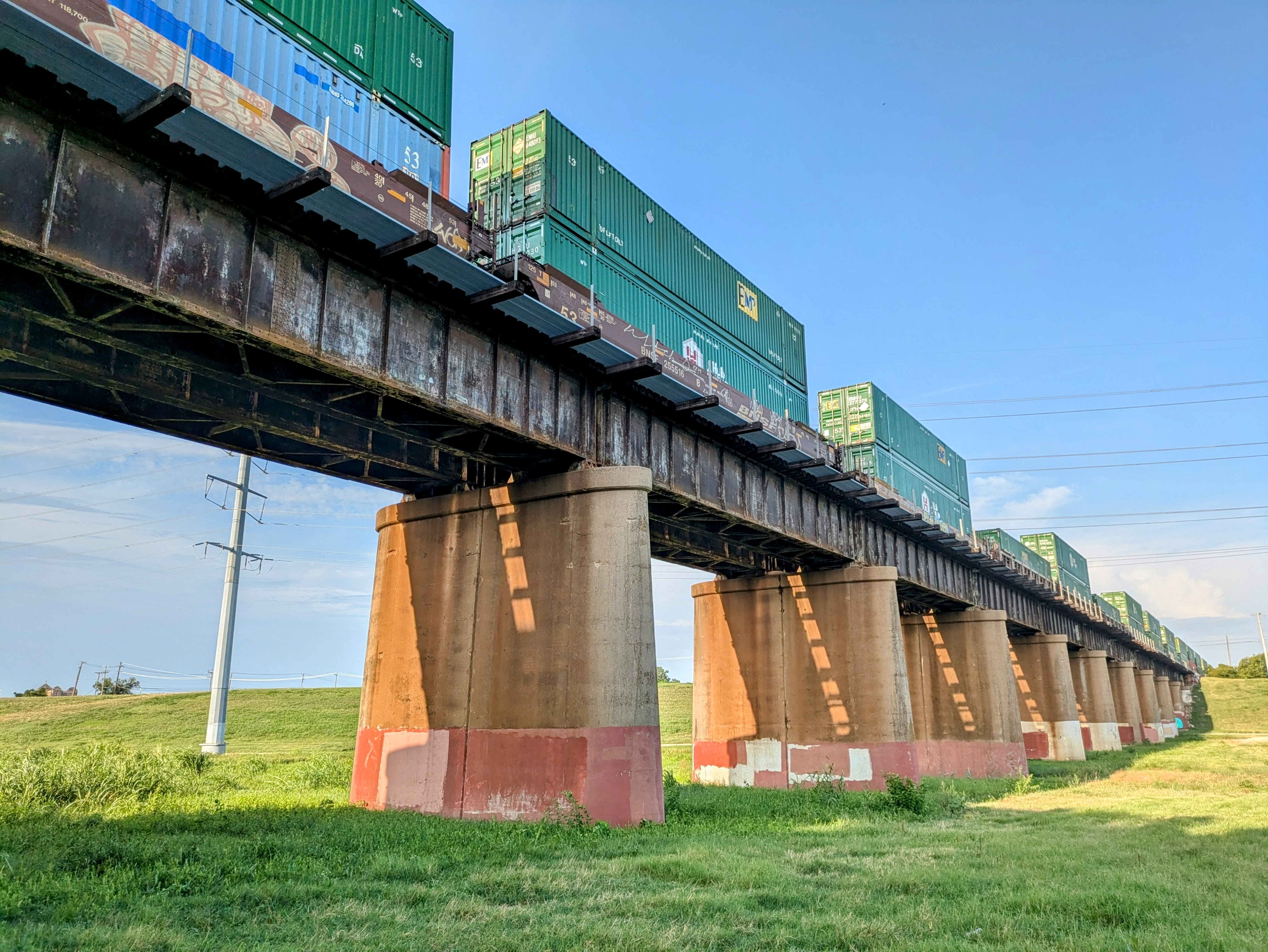
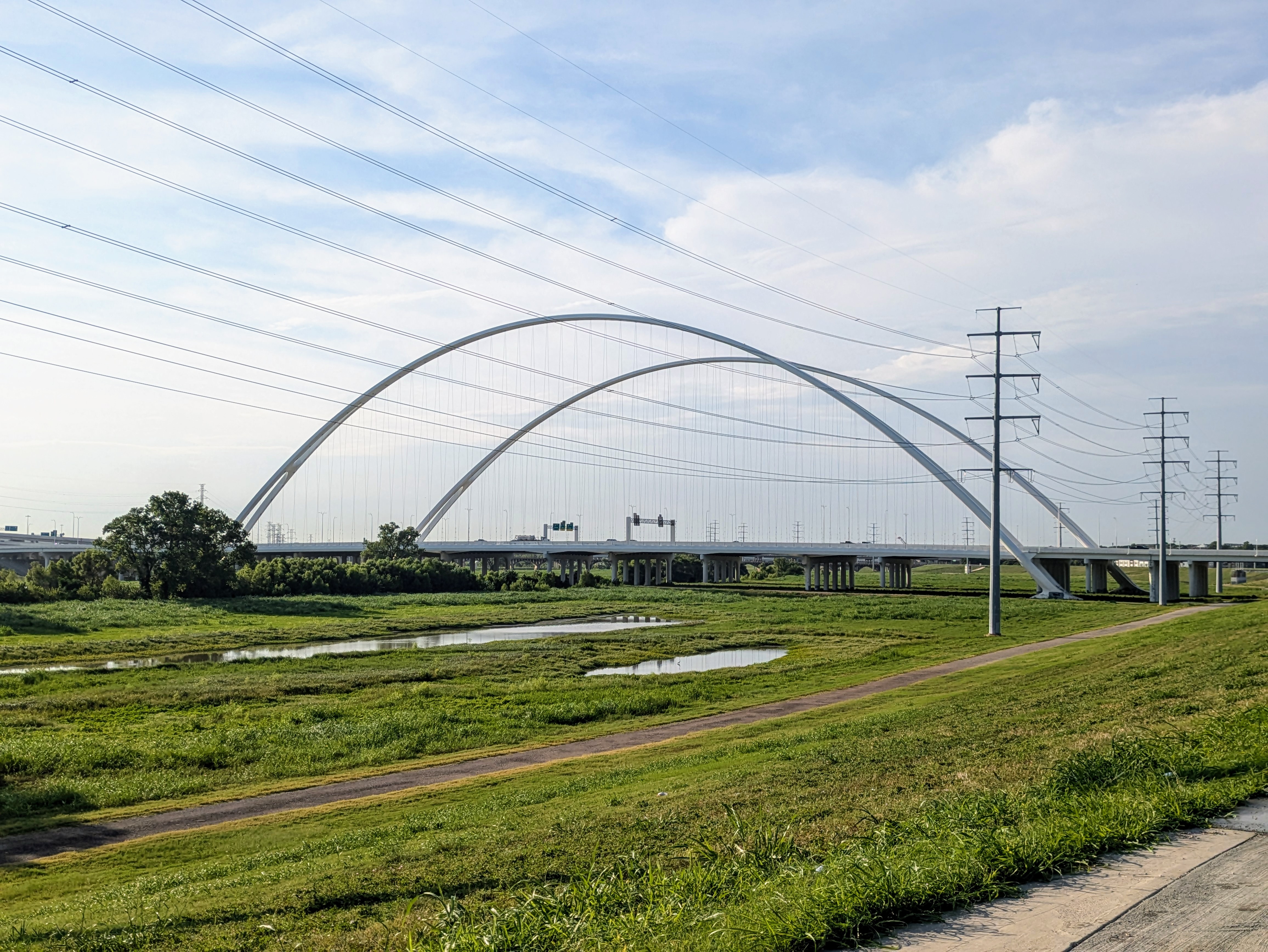
From there, we cruised to W Commerce Street and hopped on the trail next to the river. The first of several bridges — the Margaret McDermott Bridge — arches into view quickly. We passed under more as we rode, each with its own architecture, all framed by the downtown skyline. For a trail less than five miles long, it’s not short on photo ops.
We reached the trail’s official endpoint at Trinity View Park and pushed a little farther, veering onto an offshoot we later learned was the Campion Trail — a future 22-mile route through Irving. We called it at Rosebud Drive and turned back, but it’s on our list for next time.
The Trinity Skyline Trail may not have been our original plan, but it was a solid backup. With its mix of wildlife, urban views, and easy access, it’s the kind of trail you’ll keep in your pocket for when plans shift — or when you just need a break from the Texas heat and highways.