The 2024 Raid the Rock Adventure Race turned out to be one of the most rewarding races we’ve tackled yet. Set in the stunning Ouachita National Forest, it combined crisp Arkansas air, tough climbs, and smart route choices — all starting from Camp Ouachita Lodge near Lake Sylvia, just west of Little Rock.
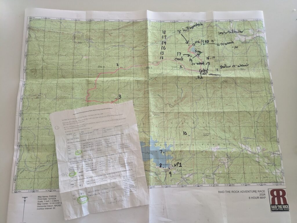
After a calm prep week, race morning kicked off with gear setup, a 30-minute delay, and finally, map plotting and CP strategy. From there, it was eight hours of cold, hilly fun.
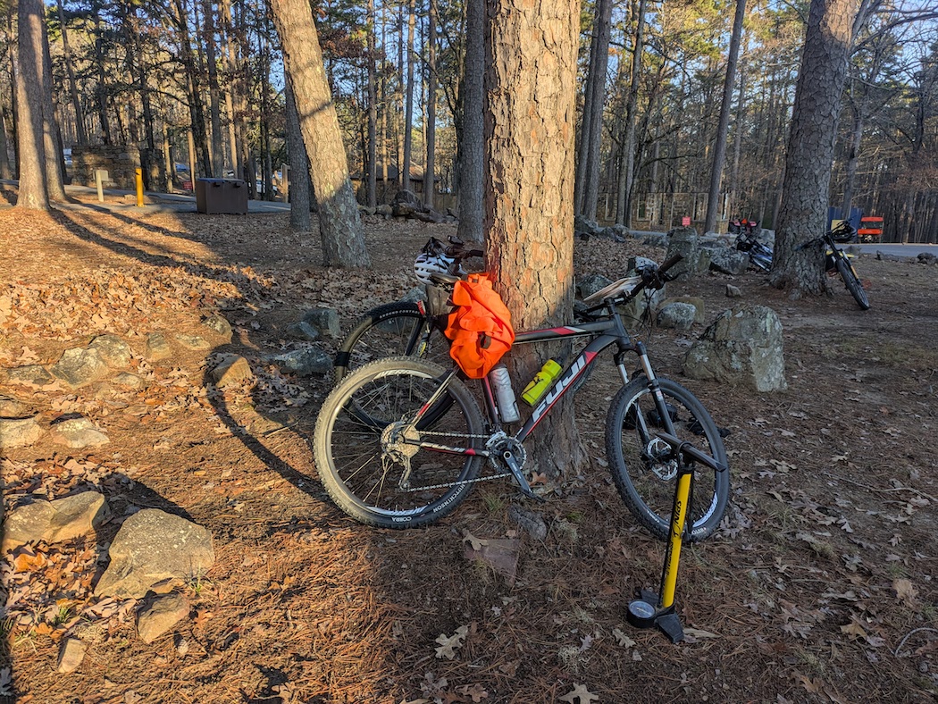
Leg 1: Bike
11 miles, 3 potential checkpoints (CPs)
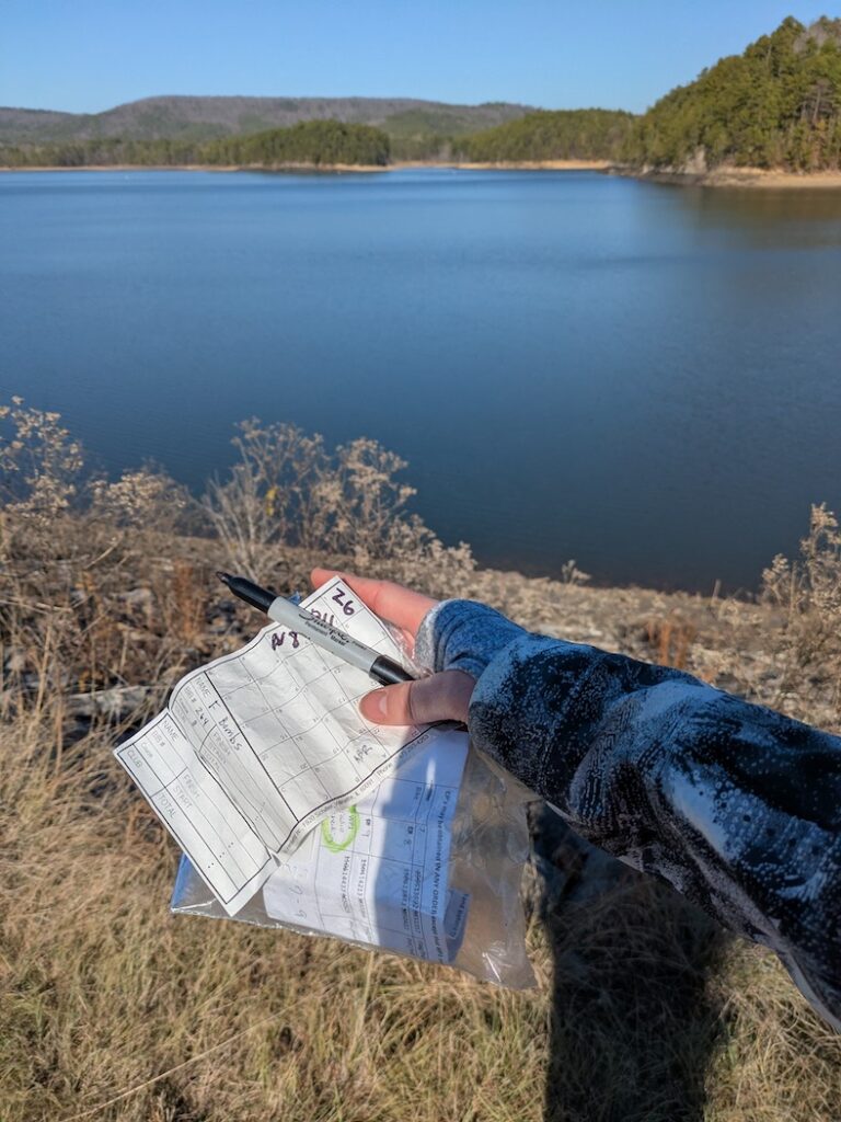
The first leg was a bike segment ending at a boat ramp on the north side of Lake Winona. All three CPs were close to gravel forest roads and made for a straightforward route choice. While the navigation was simple, the biking was not. We quickly became acquainted with the Ouachita Mountains. For us flatlanders living in Dallas, the climbs were tough and brought some amount of hike-a-bike.
The biking was slow at times but we found each CP fairly quickly. Each CP was near a noticeable landmark – a forest road intersection, an old road, and a radio tower – which helped us make relatively easy work locating the CPs.
Leg 1 result: 3/3 CPs; 11 miles in ~2 hrs
Leg 2: Paddle
4.5 miles, 3 potential CPs
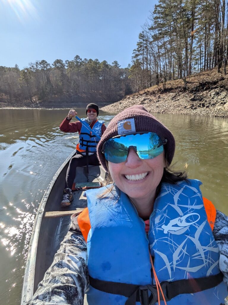
Despite the cold temperature, it was a beautiful day for paddling with a shining sun and a nearly nonexistent wind. Paddling is not our favorite thing to do. While there was an opportunity to pick up three CPs on Lake Winona, we opted to hit the mandatory minimum of at least one checkpoint on this leg.
We paddled south across the lake to the closest checkpoint easily visible on the lakeshore of a little peninsula. It was smooth canoeing back to the boat ramp, mission accomplished with less than a mile of paddling.
Leg 2 result: 1/3 CPs; 0.7 miles in ~30 min
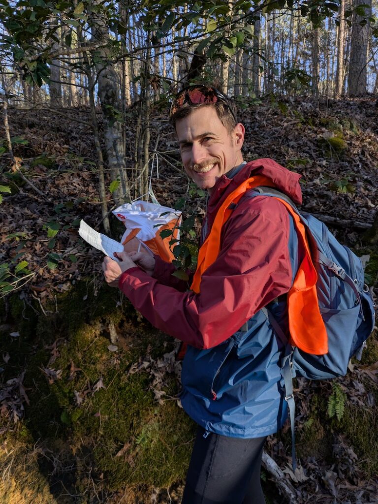
Leg 3: Bike
16 miles, 5 potential CPs and a mandatory radio check-in waypoint
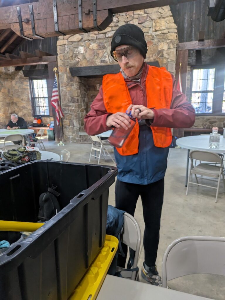
After the quick paddle, we ran into race volunteers who checked us for certain mandatory gear. We showed them our emergency blanket and rear bike light, and then set out on the second bike leg.
Similar to Leg 1, the location of the CPs suggested a logical route choice on gravel forest roads. But on this leg, three of the CPs were further away from the roads or involved some additional biking away from the next transition area. We opted to make some strategic choices to get back with plenty of time available for big points on the trekking leg.
We ended up skipping the first potential CP we came near on the east side of Lake Winona. The CP would have added at least of kilometer of travel and we chose to avoid that. We picked up the next two checkpoints cleanly on top of a dam and on a bridge near the dam before backtracking back up a hill to the mandatory waypoint.
From there, we punched the two remaining CPs on the leg just off the forest road. We had no issues finding them, but once again we were dealing with leg-busting (to us) mountain climbs. Thankfully the last few miles were on a big downhill that was the reverse of the first bike climb we had in Leg 1. For some reason, the downhill felt much longer than the uphill experience, but we were not complaining.
Leg 3 result: 4/5 CPs; 16 miles in ~2 hrs 45 min
Special Challenge: Trek
3 potential CPs
We didn’t know what to expect from the Special Challenge. We had no inkling of what it would entail before getting to this point in the race. It turned out to be a test of memory which suited us well. We had one minute to look at a map to memorize the location and clues for three CPs in close proximity to race headquarters. Sounds easy, right?
It did not start so easy for us. We set off for the first CP with “gate post” as a clue. After a few frustrating minutes of not finding anything where I thought it should be, we moved on to the next clue. This hilltop CP overlooking Lake Sylvia was a quick find. The third CP was in a dilapidated cabin; once again, fairly easy to find.
We circled back towards the entrance to find the first “gate post” CP… and eventually we did. It turns out we were at the wrong gate post and needed to go to the one further north up the road. I blame my overconfidence in memorizing the map. Fortunately, it only cost us a few minutes and caused some temporary angst.
Special Challenge result: 3/3 CPs; ~15 min
Leg 4: Trek
4.7 miles, 8 potential CPs
We had high hopes for the last leg with a chance to accumulate a bunch of checkpoints. Before setting out, we took a few minutes to map out a plan of attack for the trek. The goal was to figure out how many we could reasonably get before the race cut-off and what order to get them in. I thought we had a solid plan to try to get 6 of 8 CPs working in a counterclockwise pattern.
The leg started really well. Within an hour, we had our first 3 CPs punched across varying terrain. We were able to quickly find these CPs on a hilltop rock pile, along a creek, and in a re-entrant. It was around this point in the race where I said it had been an enjoyable race and things were going really well. Things did not go well after that.
From the re-entrant CP, we intended to go after a CP on the northwest side of Chinquapin Mountain. We contoured towards a saddle on the northwest side of the mountain and picked up a hiking trail heading southeast, exactly where we needed to go. So we gradually went up Chinquapin and started looking for the CP given the clue “rocky field/outcropping”. There were a lot of rocky fields. We spent quite a bit of time looking for the CP, maybe too long. We never found it.
Eventually we decided to cut our losses and move onto a different CP. With the time spent, we knew we would have to skip one of the CPs we were planning on getting. We headed back on the trail toward race HQ, hoping to angle towards a CP located east by a quarter mile. But we ran into a steep canyon/ravine on the east side of Lake Sylvia that stopped us in our tracks. It was too tough to navigate safely, we were tired, and it was also getting dark. Foiled once again, we circled around Lake Sylvia the long way. Back at HQ we finished the race with 15 minutes to spare before the cut-off.
Leg 4 Result: 3/8 CPs; ~3 miles in 2 hours 15 min
Final thoughts
Race result: 16 points in 7 hrs 45 min; 5th overall
Overall it was a fun race despite the usual challenges that come with adventure racing. The Ouachita Mountains are gorgeous even in the winter. The race course was tough but fair with neat checkpoint locations. We plan to be back for future editions of the race. And we also plan to return and enjoy the Ouachitas with their impeccable gravel roads.
Prep has begun for our 2025 season and our first 24-hour adventure race. More to come on lessons learned and this year’s journey…